 English
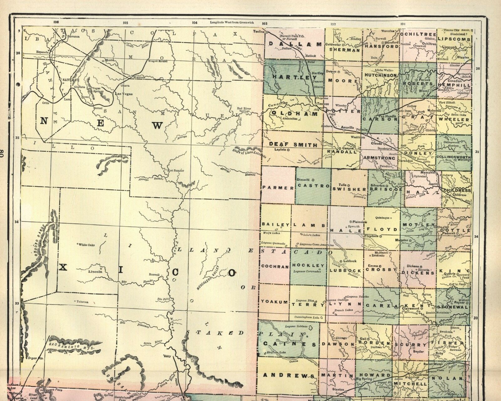
ANTIQUE MAP: STATE OF TEXAS – 1897 – 2 Double-Pages – LARGE FORMAT

$29.04 (-40%)
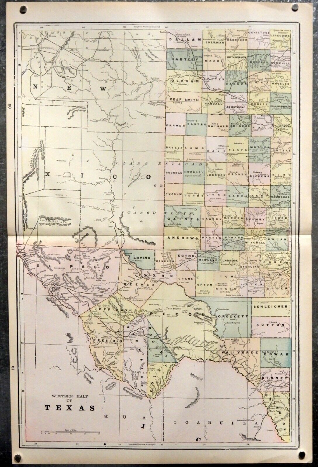
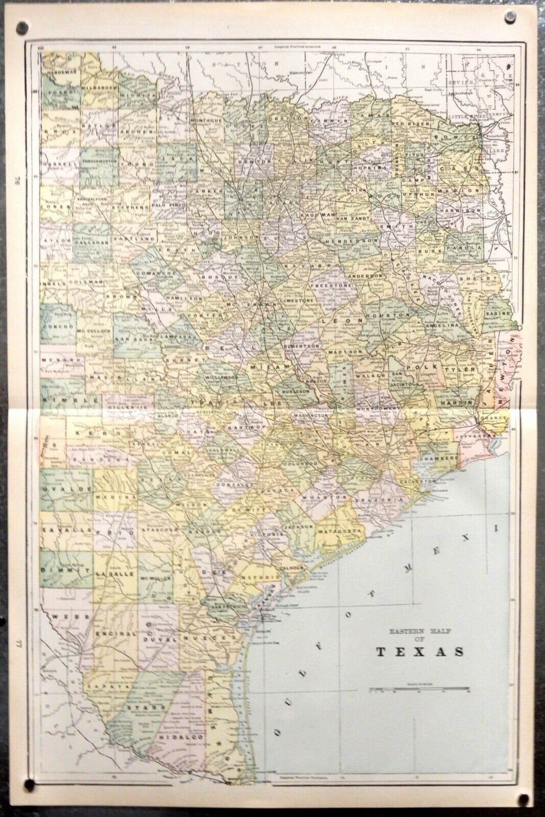
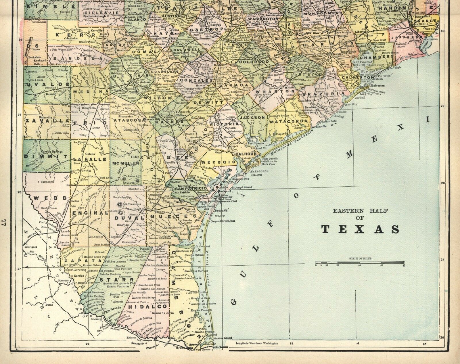
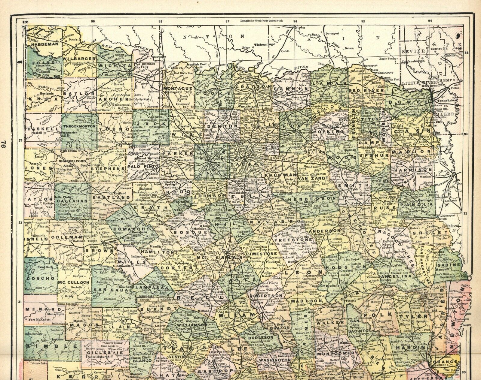
Vintage map of the TEXAS – published in two portions. Published by Cram’s Universal Atlas, 1897. This is a double-page map measuring 13 19 3/4 inches, plus blank margins. Folded as issued, this copy is bright and clean, no handling wear. First image is from a photograph (with magnets at corners), the second two are from a tabloid size scanner, and best shows the color of the map and paper tone. Vintage, not a modern reproduction. A great copy for framing. Ships stored in a paper lined plastic sleeve, rolled in a shipping tube.
Unrelated maps on backside.
QUESTIONS ARE ALWAYS WELCOME.