 English
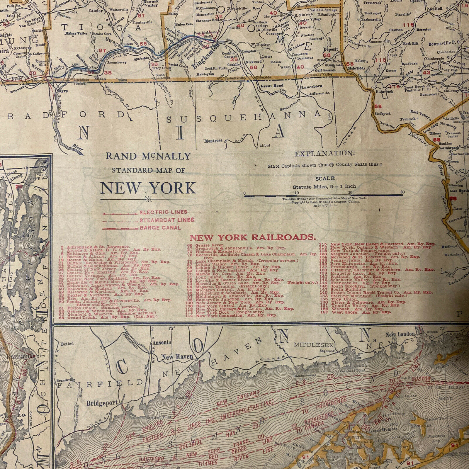
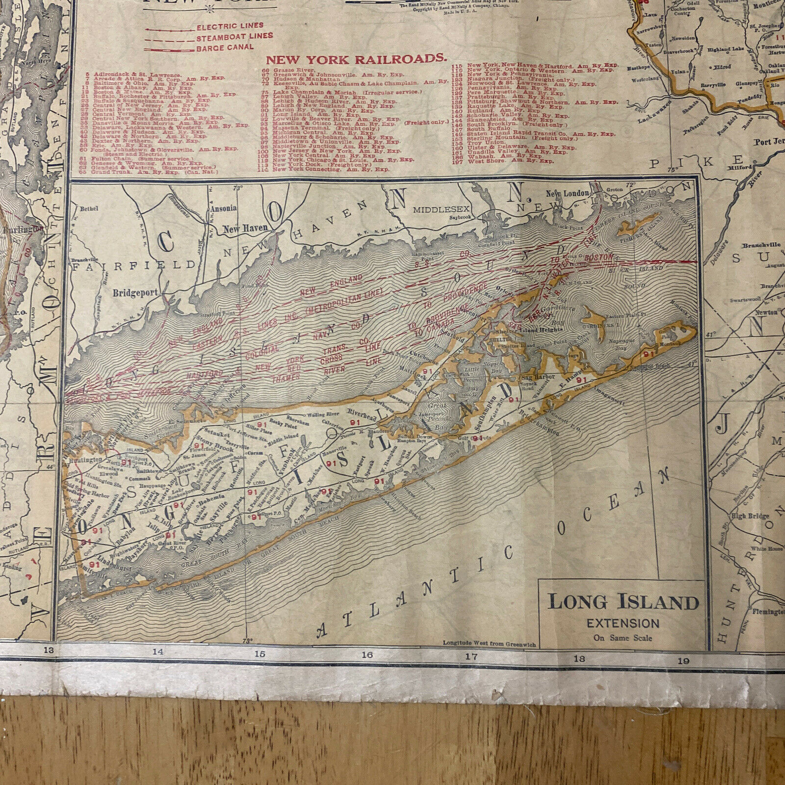
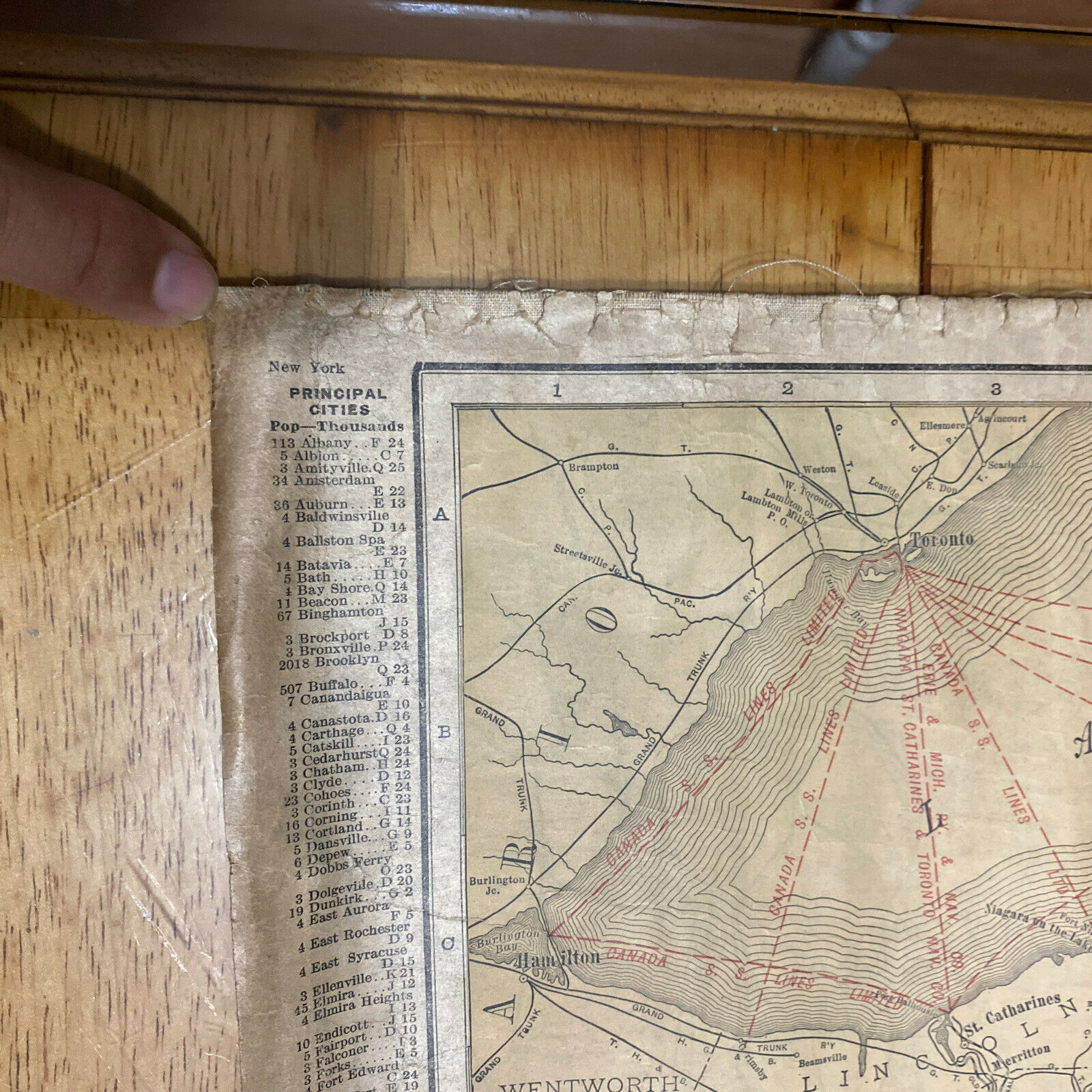
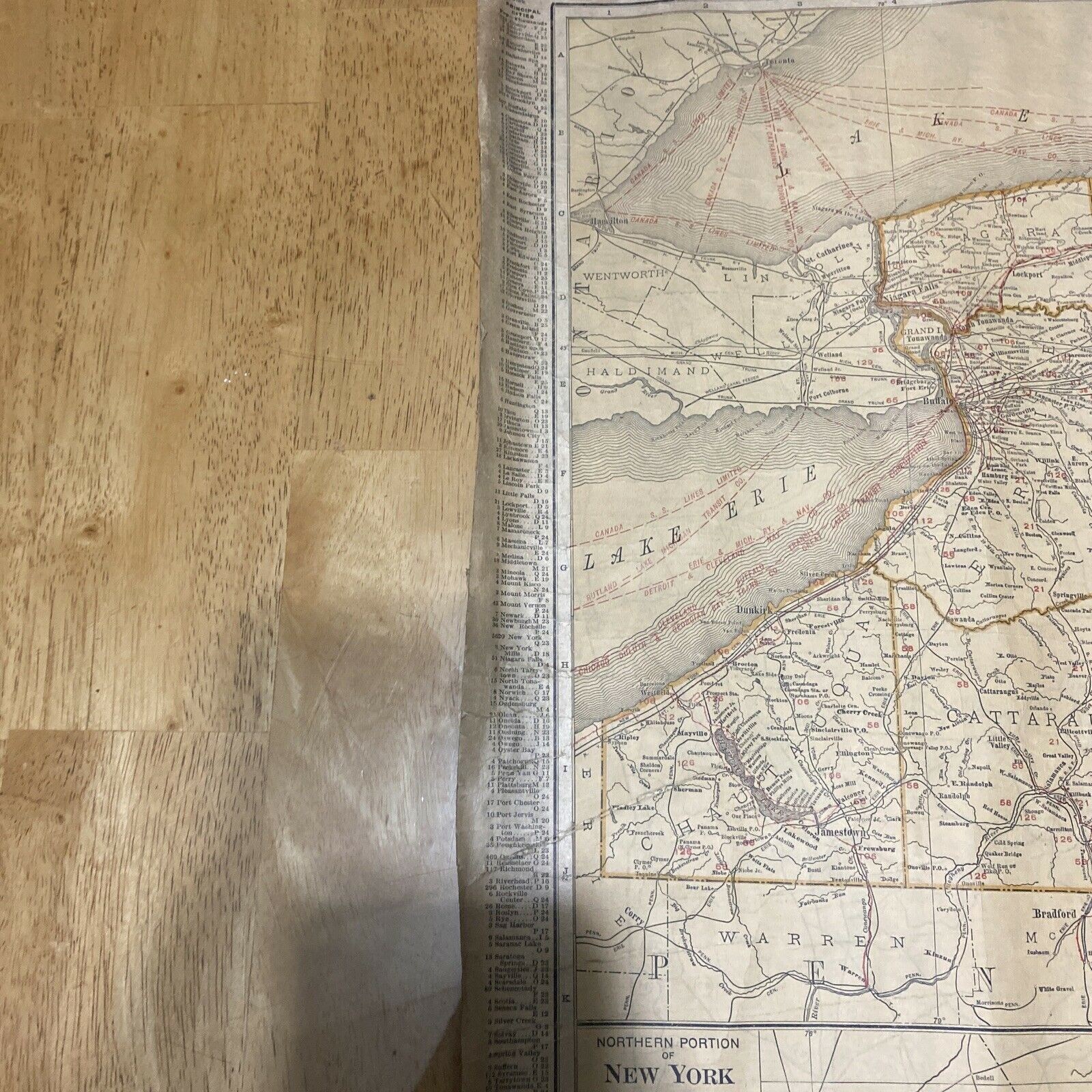
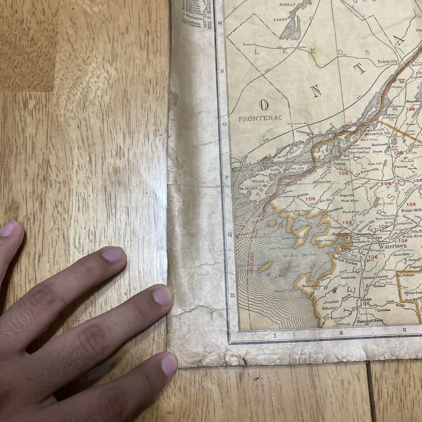
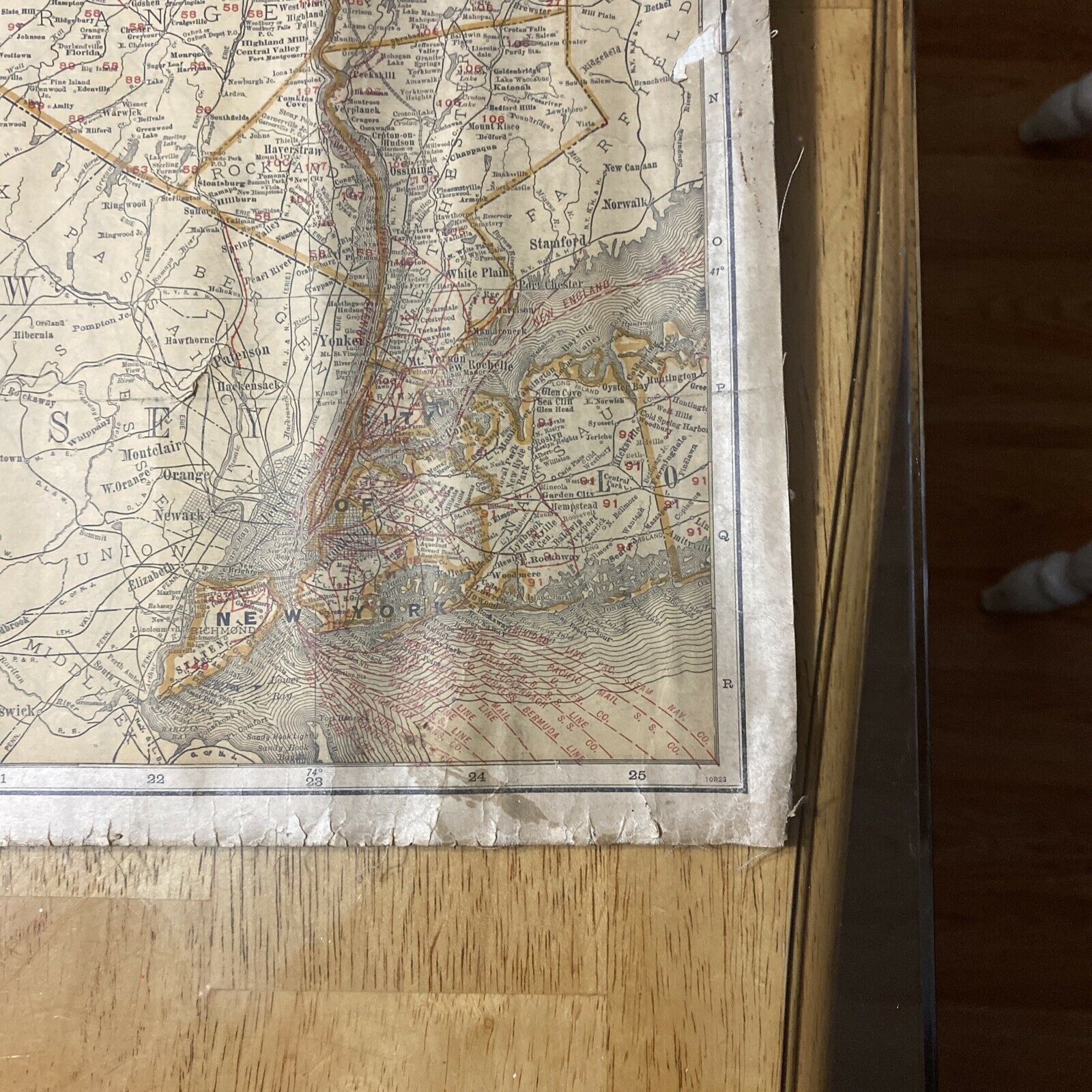
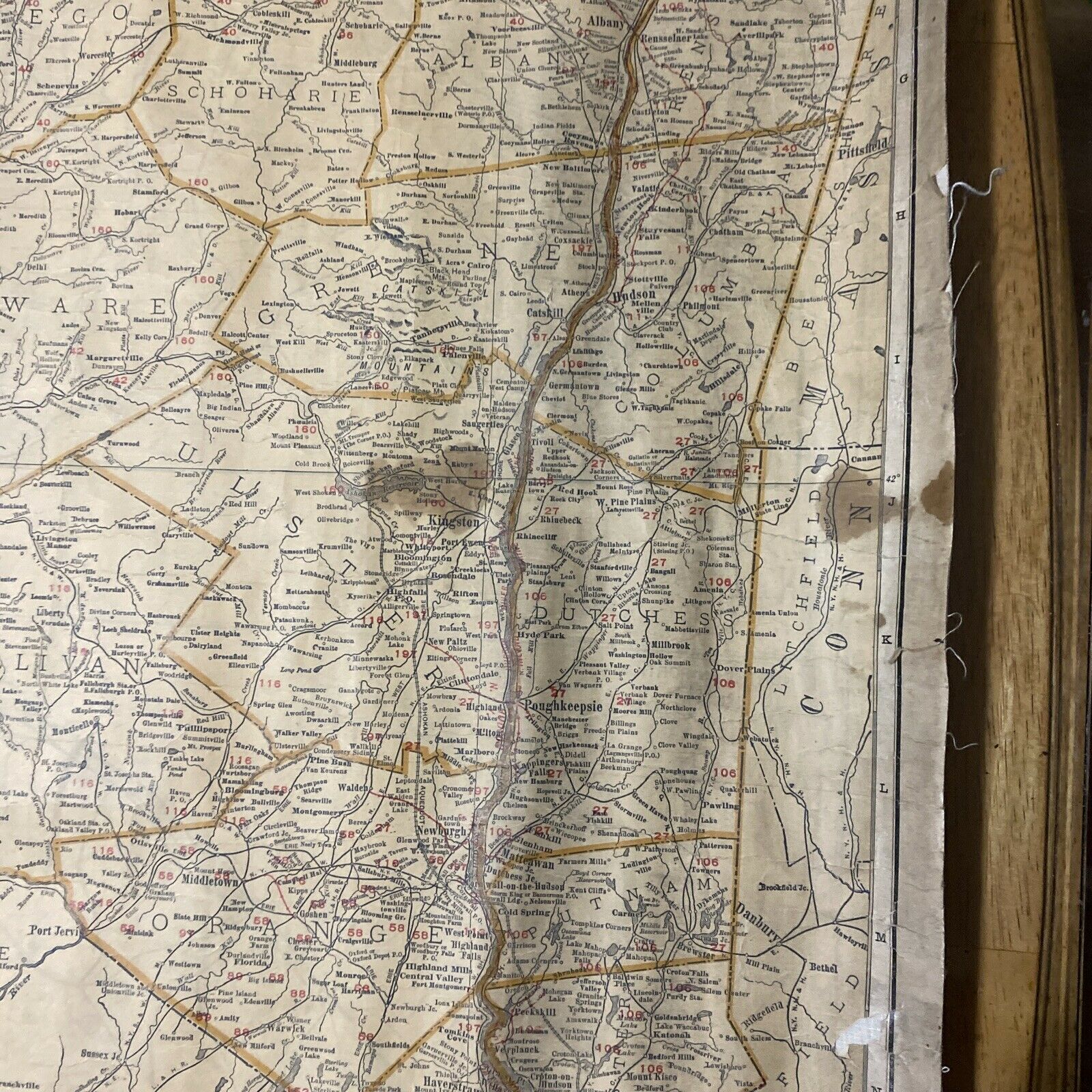
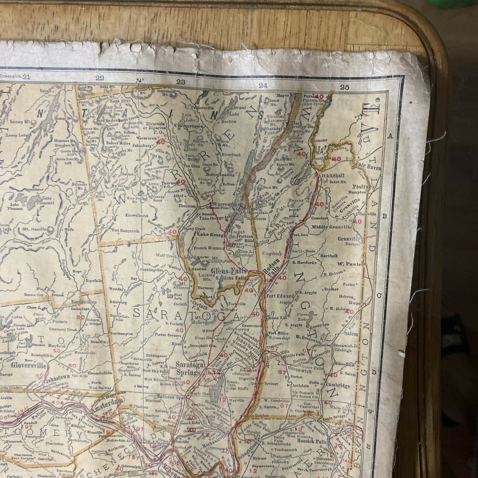
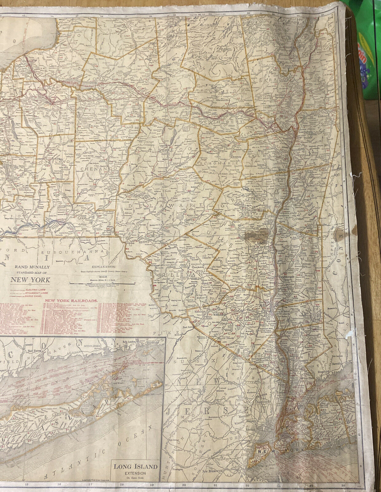
EARLY 1900’s RAND MCNALLY STANDARD MAP OF NEW YORK/ RAILROADS 39” X 26 3/4”


$10.56 (-40%)
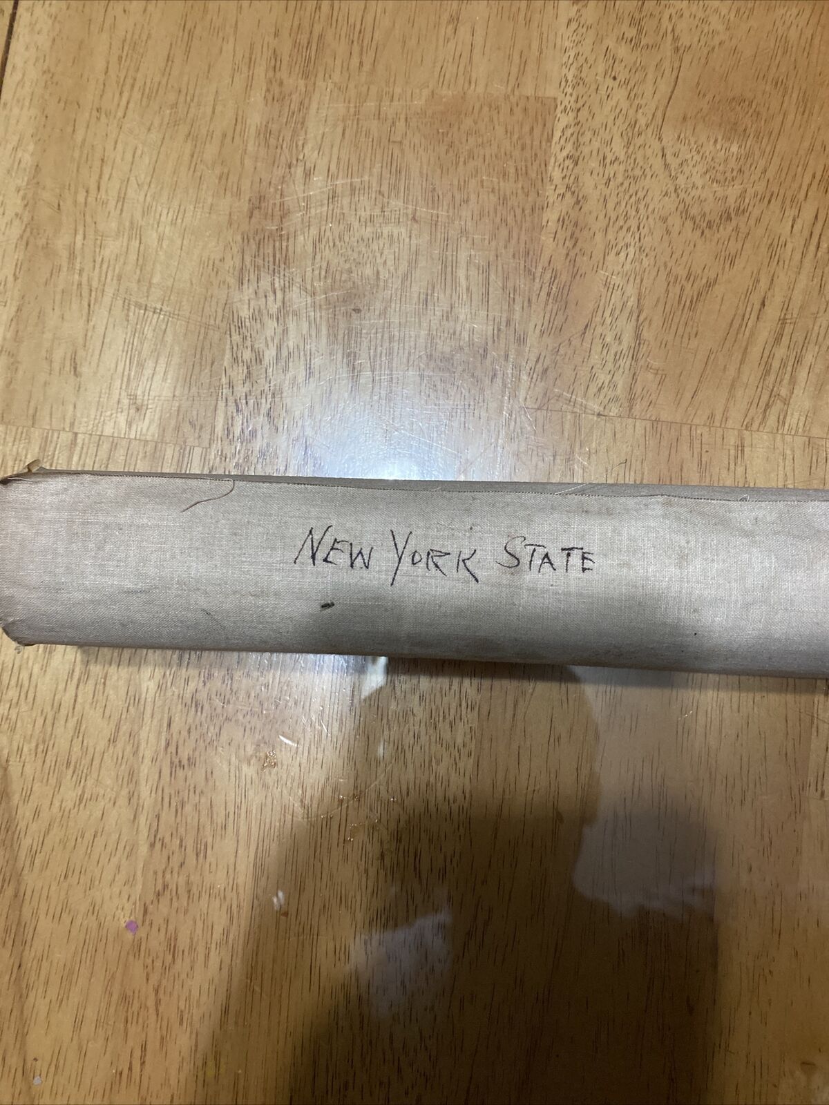
EARLY 1900’s RAND MCNALLY STANDARD MAP OF NEW YORK/ RAILROADS 39” X 26 3/4”. The map is in good condition for its age with the obvious signs of discoloration, cracks and rips. I’m not sure of the exact year of when this map was made but I do know that it was made in the early 1900’s because the paper that the map is on has been plastered on to a cloth sheet. If you have any questions or need more pictures feel free to email me.
Shipped with USPS First Class.