 English
Topographic Recreational Map of Arizona Paper/Non-Laminated

$3.14 (-40%)
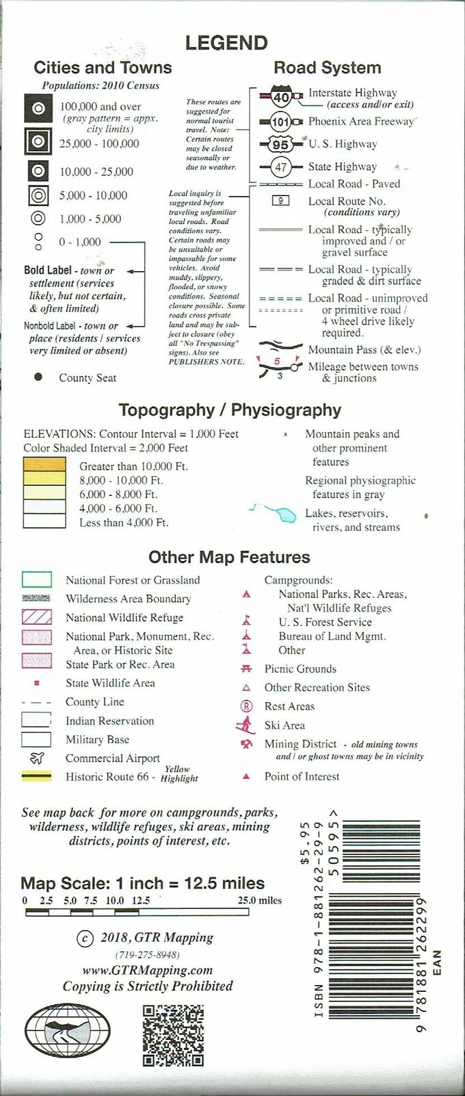
This detailed travel map features Interstates, exit numbers, highways, and more local roads than typical road maps. U.S. Route 66 is highlighted. Topographic contours cover each 1,000 feet and are color shaded each 2,000 feet above 4,000 feet. Features of the map include national forests, wildernesses, campgrounds, parks, state wildlife areas, ski areas, mining districts, points of interest, and more.
ISBN 13: 978-1-881262-29-9
UPC: 7 42663 59512 6
Size:
29″ × 37″
Folded: 4-1/8″ × 9-3/4″
Scale: 1 inch = 12.5 miles
Paper
2018 Edition
Two-sided, self-cover, paper/non-laminated folded map